MawisGeoportal – Practical Support for Construction Projects: The Case of the Strakonice Villa
Geodata, cadastral records, digital terrain models, and project documentation—all in one place. A demonstration of how MawisGeoportal is used in Strakonice.
Digital data is now an integral part of every construction project. Surveying data, design documentation, cadastral maps, the digital technical map of the Czech Republic, and 3D models—all data sources should be accessible, up-to-date, and shared among all project participants.
That is exactly what MawisGeoportal is designed for—a cloud-based application for visualizing, managing, and sharing geodata and documents that integrates geodata, documentation, and communication into a single environment.
🎥 Watch a video preview straight from the villa project in Strakonice:
Geodata in one place
Projects and documents are stored in a single mapping application, where you can view your building (property), an orthophoto map, and panoramic images (Street View). You can switch between different data layers.
Working with Survey Data
Files in various formats (DGN, DWG, VFK, JVF DTM) can be easily uploaded and displayed.
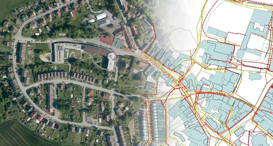
Designers and site managers can immediately see the utility networks—water, electricity, gas, and roads. They can overlay data and instantly gain the necessary context.
Orthophotos, Cadastral Map, and Digital Terrain Model of the Czech Republic
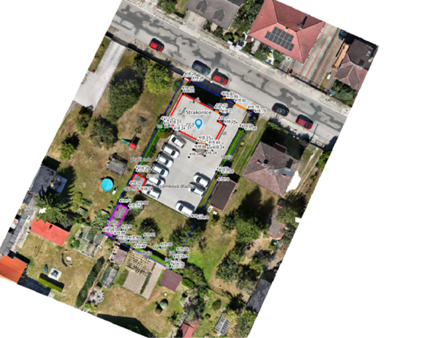
- An orthophoto as a base map.
- Land Registry for viewing parcels and owners (e.g., parcel no. 1961).
- DTM Czech Republic for identifying property owners and quickly measuring distances from property lines.
You can enable the orthophoto map, overlay it with the cadastral map, and view the parcel owner. Thanks to the integration with the real estate cadastre, you can access important information.
By turning on the DTM ČR layer, you can identify the owner, operator, or manager of the network and measure, for example, the area of a construction site or the distance to the next property line.
Project Documentation and DSPS
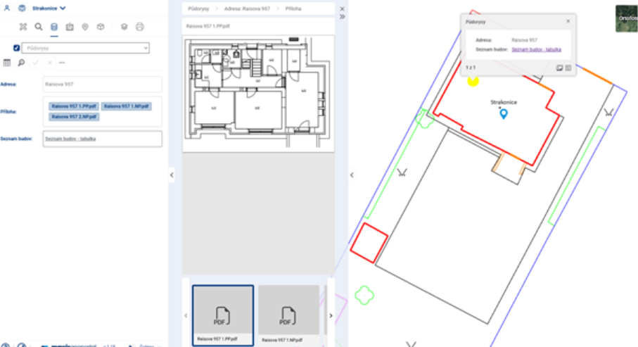
The geoportal allows users to upload both project documentation and as-built documentation (DSPS).
- display floor plans, cross-sections, or individual building elements,
- open drawings in PDF format or XLS spreadsheets,
- and most importantly—you can compare the design with the actual finished building.
Tasks, notes, and links to the construction log
In the app, you can create a task, add a photo or comment, assign it to a specific person, and track its status.
MawisGeoportal is integrated with the STAVEE electronic construction log. This makes it easy to transfer data and supplement it with daily entries directly from the construction site.
3D models and point clouds
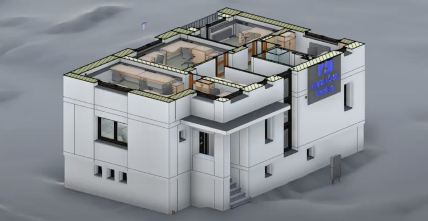
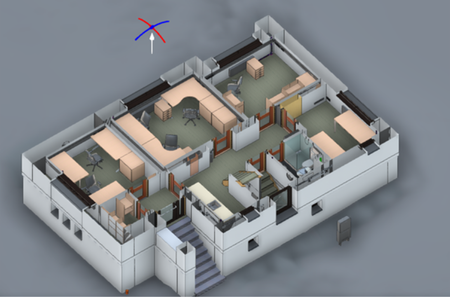
It also includes a 3D model and point cloud viewer that allows users to create cross-sections and rotate the model. This is useful both for coordinating between disciplines and for visualizing the results in relation to the terrain.
Sharing and printing
Results can be easily shared—either by sending a link to the map window to other participants or by exporting the map to PDF or PNG. You’ll always be working with the latest version without having to send emails.
Conclusion
MawisGeoportal offers designers, builders, and developers a digital platform for project management—from surveying data and the land registry to 3D models and integration with the construction log.
30-day free trial of the geoportal
Contact Information
Would you like to know more? Please don’t hesitate to contact us.
Ladislav Bláha +420 724 863 431 | ladislav.blaha@hrdlicka.cz
Miroslava Kubíčková +420 602 477 250 | miroslava.kubickova@hrdlicka.cz

The Services Mentioned