


Digital Engineering Maps and Their Importance for Modern Construction
DTM ČR streamlines construction processes, enhances planning accuracy, and improves access to infrastructure data.
📖 Article in iTRADE NEWS: The Digital Technical Map of the Czech Republic, or the Utility Cadastre and Its Significance for Modern Construction.
The Origins and Initiators of the Project
The Digital Technical Map of the Czech Republic (DTM) project was launched in 2018 at a conference in Mikulov with the signing of a memorandum of cooperation between key partners. The project is primarily led by the Association of Geomatics Entrepreneurs (APG), which has bridged the gap between public administration and the business sector, and the ICT Union. The project was supported by European Union funds and the active participation of the Association of Regions, which ensured uniform implementation throughout the Czech Republic.
Legislative Framework and Technological Innovation
A key step was the amendment of legislation, including the Surveying Act and the new Act on Regional Digital Technical Maps. These regulations define the content, format, and accuracy of the data, which made it possible to create a unified nationwide system. DTM not only streamlines the building permit process but also opens up new possibilities by incorporating a third dimension—height or depth—which is provided by data in 3D format.
Key Benefits of the Project
The DTM ČR is unique in that it provides easy access to data on technical and transportation infrastructure and basic spatial information across the entire country. Using the Unified Exchange Format (JVF), users can easily access up-to-date and accurate data, which significantly speeds up the preparatory phases of construction projects and reduces the risk of damage to existing infrastructure.
Data Structure and Content
The system includes data on transportation and technical infrastructure (e.g., power lines, water mains, sewer lines, and gas pipelines) and basic spatial information (points, lines, and areas). Thanks to the accuracy and integration of the data, the information is useful not only for the construction industry but also for crisis management and land-use planning.
Availability and Use
DTM data is available through regional systems. Basic information is freely accessible, which promotes transparency and improves the efficiency of construction processes. Furthermore, the project is designed to be long-term, with ongoing updates and refinements to the data.
Significance for society
The digitization of the building permit process, of which the Czech Digital Map (DTM ČR) is an important component, significantly contributes to increasing the efficiency and competitiveness of the Czech economy. The project facilitates the preparation of construction projects, applications for building permits, and the final inspection process itself, thereby accelerating the implementation of construction projects and supporting the modernization of the entire sector.
Mawis and DTM
Thanks to the Czech Republic’s open DTM data, new services are being developed to assist both the public and professionals in addressing issues throughout the building lifecycle. The Mawis portal is one such tool, providing administrators, builders, designers, municipalities, and regions with online access to various digital services.
MawisUtility, for example, is a service that allows for the bulk submission of requests for information regarding the presence of utility networks. This service significantly simplifies and speeds up the process of obtaining a complete overview of utility network operators in a specific construction area. It automatically submits the electronic requests required to obtain a building permit.
Another service is MawisGeoportal, a mapping application designed for the visualization, publication, management, and sharing of geographic data and related documents. This tool enables clear and organized work with various spatial data, which facilitates strategic planning and asset management in a broader context. Thanks to the Geoportal, technical maps showing utility networks, property records, cadastral maps, and other mapping data are easily accessible.

More similar articles
Handover without complications—we’ll handle the data entry into the Czech Republic’s Digital Terrain Model (DTM) for you
Are you finalizing the building inspection? We'll take care of entering the data into the DTM ČR and issuing the PGAD and EDTI identifiers for you.

How do I obtain a record identifier in the Digital Technical Map?
It is now mandatory to provide the Digital Technical Map record identifier when applying for a building occupancy permit. We can help you with this.
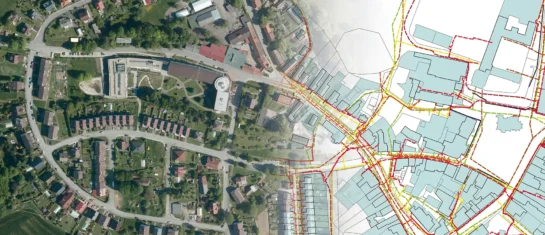
Digital Technical Map and MAWIS Services – Potential for Construction, Management, and Maintenance
MAWIS's digital services, in conjunction with the Digital Technical Map, support the construction process in the Czech Republic.


