MawisPhoto
3D documentation using a smartphone
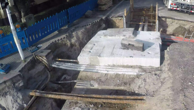
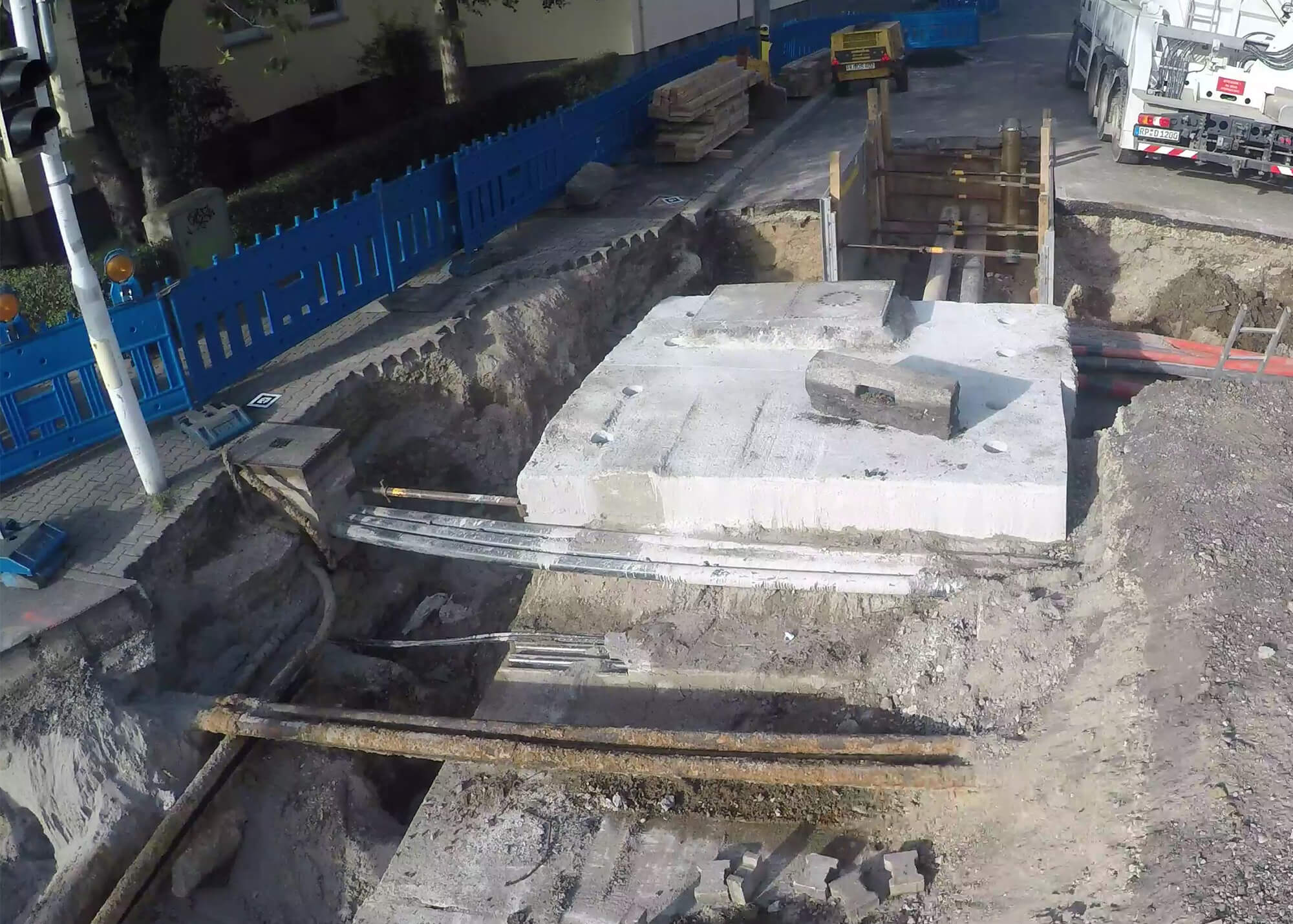
MawisPhoto can simplify construction documentation. It quickly and accurately maps subsurface conditions before backfilling.
- With your cell phone. You can capture the entire building without any complicated equipment
- 3D building data. Everything is in 3D and includes dimensions for calculating volume, area, or length
- Accurate and fast. The models created have survey-grade accuracy
- At any time. Work progress log for tracking billed costs
MawisPhoto documents construction work, monitors safety on the job site, and tracks costs. All this can be done using just a mobile phone. Thanks to the use of a geodetically accurate 3D model, you can also measure distances, areas, and volumes.
The app allows you to safely and accurately survey hard-to-reach areas, such as deep excavations.
Why MawisPhoto?
Speeding up construction
MawisPhoto offers a range of sophisticated, innovative features for creating 3D data, construction documentation, and measuring lengths, areas, and volumes. With MawisPhoto, you can perform ongoing measurements immediately, which significantly speeds up construction.
Strong security and availability
Through your profile, you can create construction projects and plan individual project documents. All data is available online via computer, smartphone, or tablet—so you can view your projects from anywhere. Robust security is a given.
Role Settings and Work Review
By configuring access permissions, you can easily determine who is allowed to work with the data and how. MawisPhoto can also serve as a monitoring tool, as it shows whether the work has been completed. In the 3D model, you can easily verify the status and scope of the work performed.
Collaboration on documentation
Multiple people are usually involved in creating project documentation. MawisPhoto can connect them all around a single set of data. This prevents duplication and confusion—collaboration and communication are significantly easier with MawisPhoto.
Accuracy
You can capture construction data at accuracy class 3. The resulting 3D model is sufficiently accurate for as-built documentation. Thanks to its accuracy, you can also use the 3D model to verify lengths, areas, and volumes.
Intuitive controls
You can use MawisPhoto via a web browser or on your phone or tablet. The controls and features are easy for everyone to understand. Thanks to the cloud-based solution, your data is always available and is continuously backed up.
How does MawisPhoto work?
Would you like to see the MawisPhoto model?
Mobile app
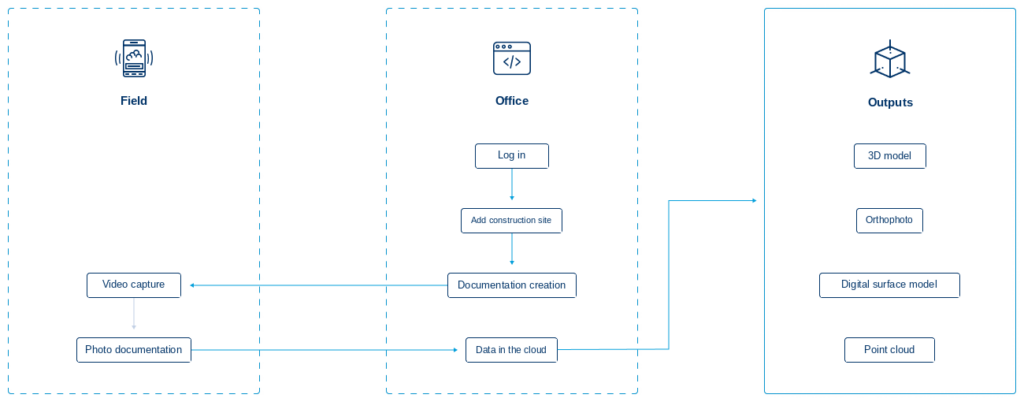
In the MawisPhoto mobile app, you can capture the video needed to generate a 3D model. You can also take photos of key construction elements for future use. MawisPhoto is available for Android and iOS.
Web application
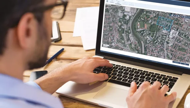
In the MawisPhoto web application, you can create a project where you can manage individual construction projects step by step. For each project, you can view the collected data and photo documentation. You can view and share the 3D model, and use it to calculate distances, areas, and volumes.
I can help you with MAWIS services

Ondřej Hrdlička
Technical Consultant for MAWIS Portal Services