


MawisTools
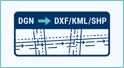
Convert DGN to DXF/KML/SHP
The tool allows you to convert DGN drawings into KML, SHP, or DXF-GNSS files, ready for use in GIS or CAD systems.
The converter allows you to create files in KML, SHP, or DXF-GNSS formats from DGN drawings, ready for use in mapping applications, GIS systems, or GNSS stations—without the need for further manual editing.
How does it work?
- Upload an input DGN file or a ZIP file containing multiple DGN files
- Select the desired export format (KML / SHP / DXF-GNSS)
- Enter your email address – you will receive a link to download the output files once processing is complete
What do you get?
- KML files – suitable for Google Maps or other mapping tools (if you exceed the limits, we will automatically split the file into multiple files).
- SHP files – a complete GIS package (including *.shp, *.dbf, *.shx, and *.prj files, if applicable).
- DXF-GNSS – A CAD format optimized for GNSS stations (coordinates converted to the first quadrant, standard structure).
Limitations:
KML export: max. 2,000 features and 10 layers per file – if these limits are exceeded, additional files will be generated.
30-day trial
Fill out the form and we'll send you FREE 30-day access to the MawisTools library so you can try out the geomatics tools.