


MawisTools
3D volume calculation
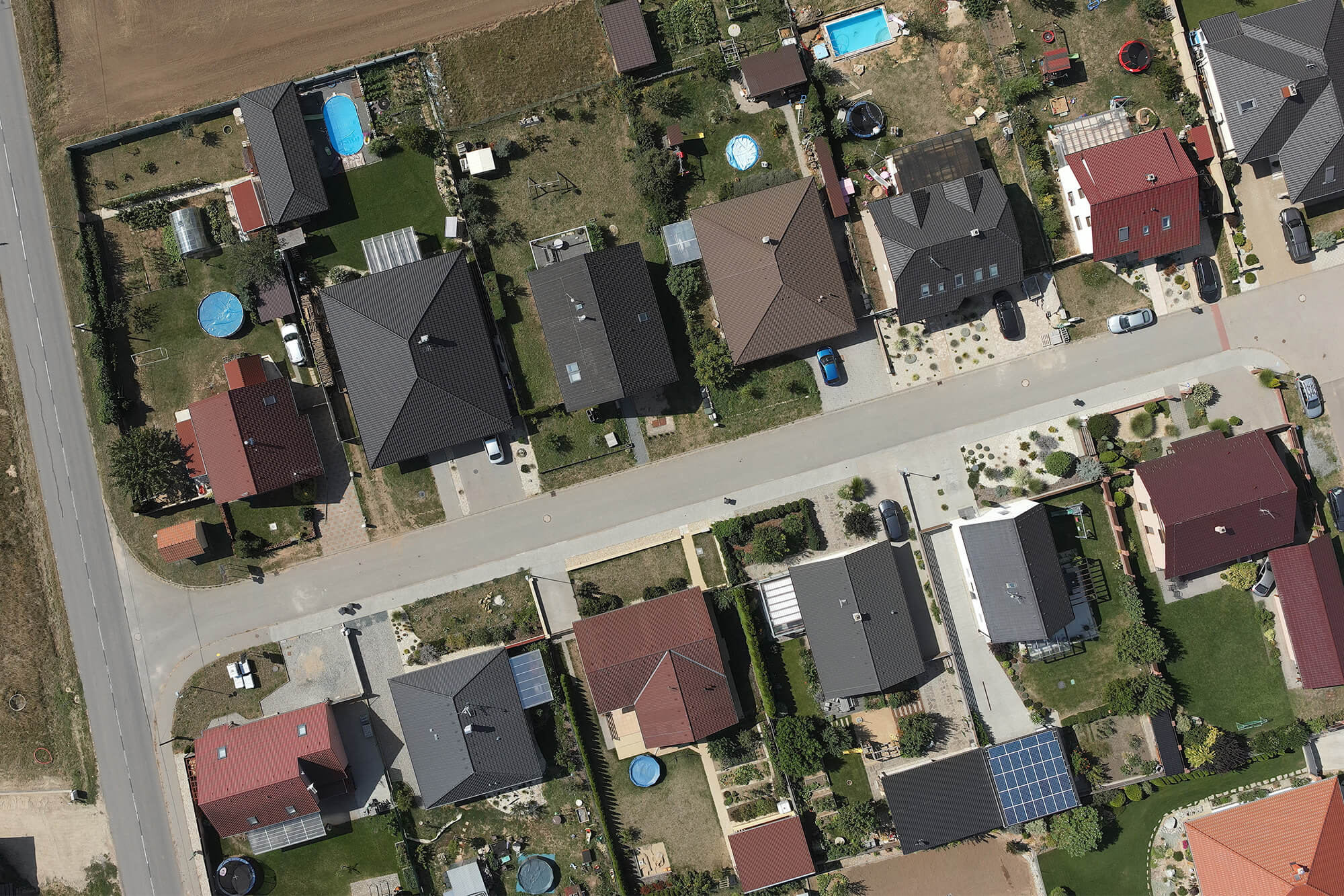
This tool is used to calculate the volume between two surfaces defined in the input DGN file.
This task will allow you to
- Verify the volumes of deliveries or pickups billed based on measured data, from which you can calculate the estimated volumes.
- Estimate the volume of materials to be moved during the initial construction phase.
Inputs – what they should look like
- A DGN file containing input data for surface creation:
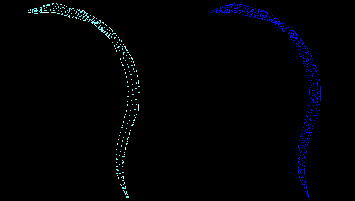
Surfaces can be defined using points, a boundary, and optionally edges, or directly using a TIN and a boundary. Surface data must be in two separate layers.
When you specify a surface using points, a triangular mesh (TIN) is first generated, and then the volume is calculated with the precision you specify.
A specific example of input data is included in the template available through the DEMO account.
The specified grid size has a significant impact on the computational complexity. It is important to choose it carefully and to anticipate that processing may take longer.
Outcomes – What Will I Actually Get?
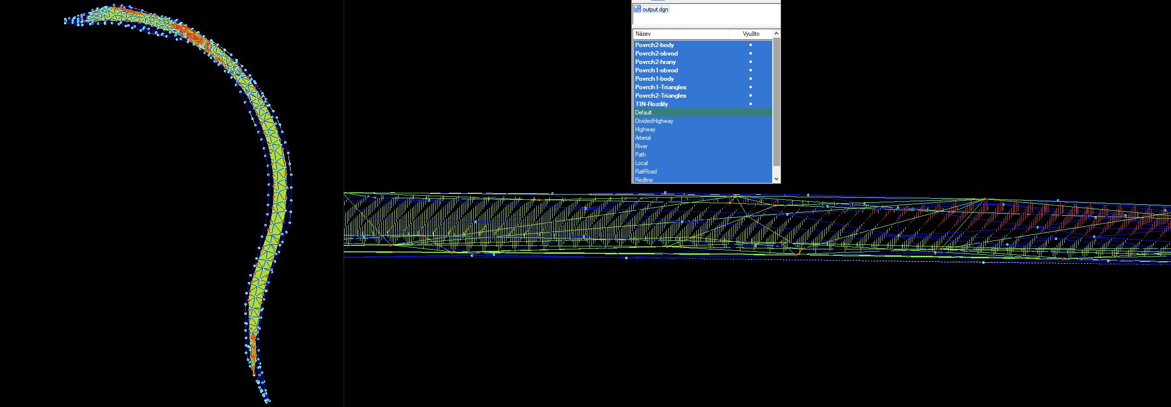
- A DGN file containing generated surfaces and a layer with contour lines showing the elevation differences between TINs.
- Report on the analysis performed, including status information.
30-day trial
Fill out the form and we'll send you FREE 30-day access to the MawisTools library so you can try out the geomatics tools.