Blog
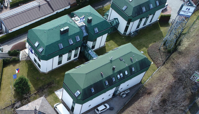
Municipal asset passporting – modern management using Mawis
The MawisPasport service will help municipalities to unify and digitise their records, making them available to all who need them.
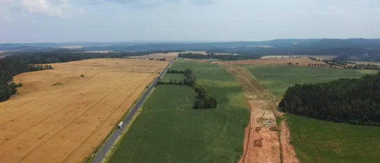
MawisGeoportal as a tool for monitoring construction progress
Applications for the construction of motorway sections or reconstruction of railway lines. It is suitable for linear constructions, development projects and smaller constructions.
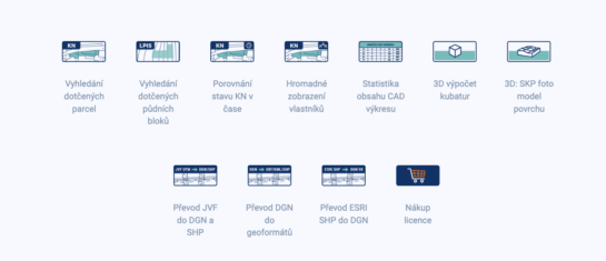
MawisTools – Advanced tool library for surveyors, planners and geoinformaticians
From the search of the parcels concerned to the calculation of cubatures or the conversion of data formats. Fast, online and without installation.

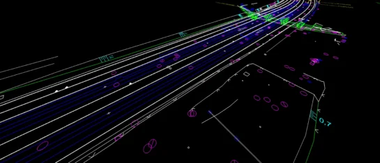
DTM CR – New tool for infrastructure management and planning
The DTM unifies previously fragmented data into a single digital model that can be used by both the public and private sectors.
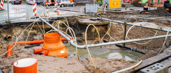
MawisUtility: a digital solution for bulk submission of network existence requests
The application is able to identify all network administrators in a given area and ask them for their comments on the proposed construction at once.

DTM Czech Republic – important changes in building approvals
A significant legislative change that will affect the process of building approvals and obligations related to the Digital Technical Map of the Czech Republic.
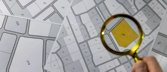
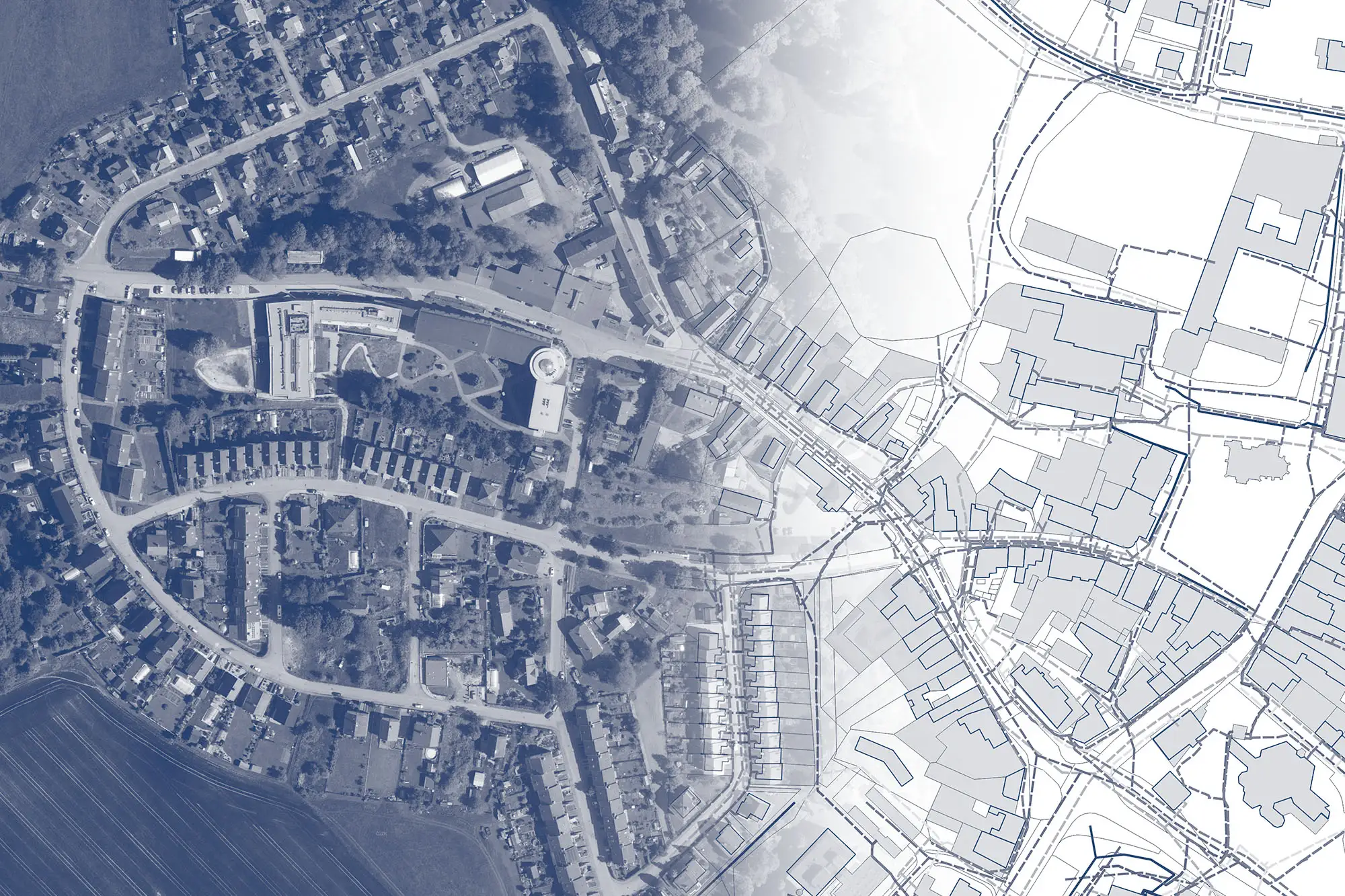
Cadastre and thematic maps in Geoportal
The Real Estate Cadastre module offers not only cadastral maps but also parcel search, connection with registers and import of VFK format.
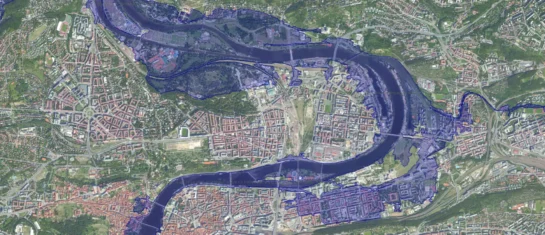
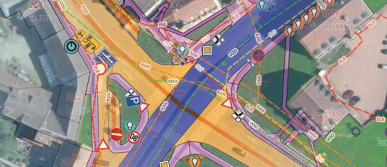
Orthophotos and floodplains – documents for comments on the existence of networks
Flood maps and orthophotomaps provide clear visual information, not only for commenting on the existence of networks, but also for construction and design activities.
Passport on demand – create your own map layer
The Geoportal now offers customized passports – create your own custom map layer just for you.

Introducing the new Expression Support module!
We have enhanced the Comment Support module to allow you to send comments to the applicant directly from the Geoportal application.

MawisGeoportal – winter news 2025
Presentation of the 2025 winter news in the MawisGeoportal app. We are constantly improving it for you.
Conversion of JVF DTM to DGN and SHP – new MawisTools tool
The converter allows you to create a drawing in DGN/SHP formats from JVF DTM data that you can view in your favorite application.