Cadastre and thematic maps in Geoportal
The Real Estate Cadastre module offers not only cadastral maps but also parcel search, connection with registers and import of VFK format.
MawisGeoportal allows working with the cadastre in several different ways, concentrated in the Cadastre module. Searching and analyzing or exporting parcel data is really easy with Geoportal.
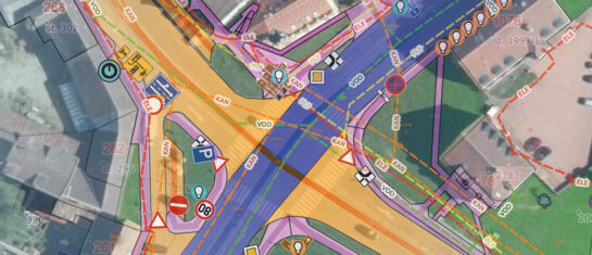
1. Available displayable map layers of the cadastre include:
- parcels (boundaries and points),
- building objects,
- the boundaries of k.ú.
The offer of layers within the Land Registry has been newly extended by three thematic maps:
- Easements – clearly shown by red polygons
- Plots by type of use – colour-coded according to land function
- Plots by type of land – e.g. arable land, forest land, built-up area, etc.
If a map layer is enabled for display, details from this layer are added to the context menu available by clicking on a location in the map.
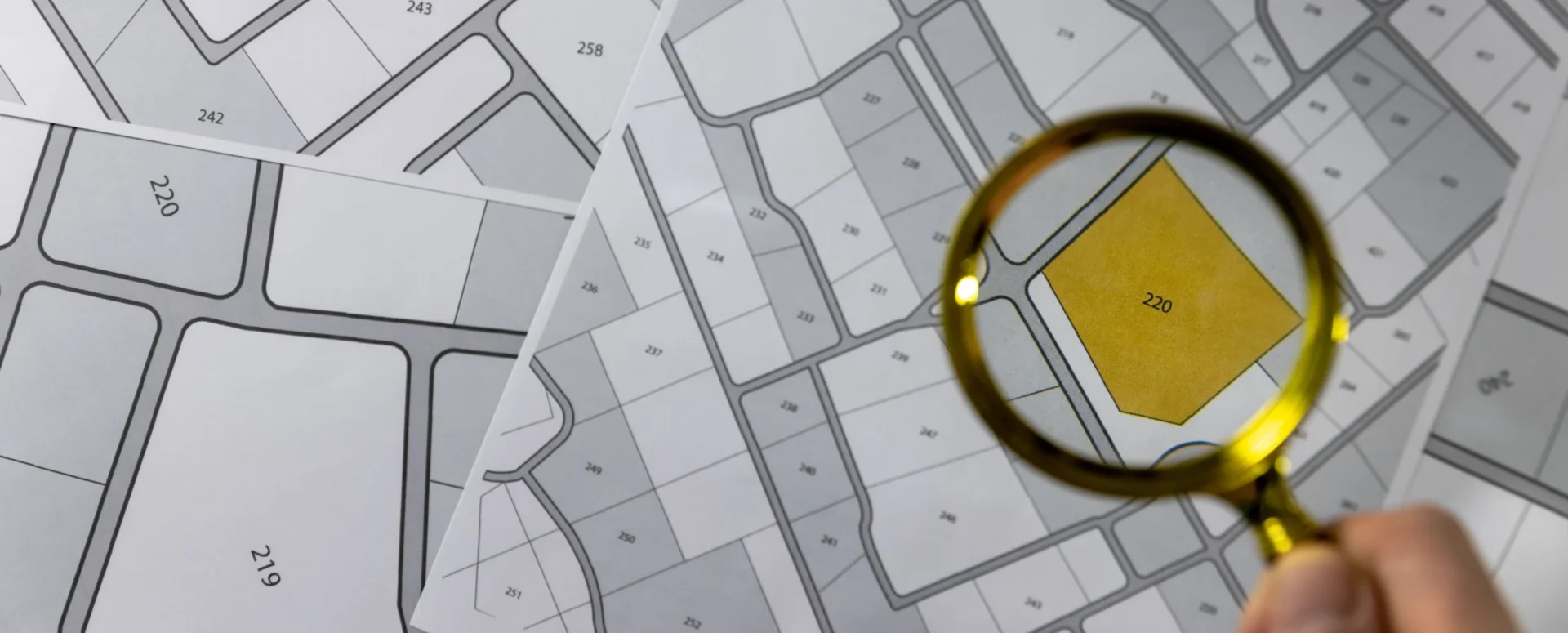
2. Searching for parcels
The search in the cadastre is carried out in two ways – by name or code of the cadastral area and parcel number (whisperer), or directly by selection in the map (spatial search). Both can be combined and displayed in one table of results.
a)parcel whisperer
The user enters the cadastral area (name or code) and the parcel number. Two additional buttons allow: to add new results to the table or replace old ones, to search for multiple parcels at the same time.
b) spatial search
Search based on selection directly from the map. As with general layers, you can select multiple elements and display the results clearly in the map and in a table.
3. Direct connection to CN and CSO data retrieval
You can view basic information for each plot and with one click go to a detailed extract from the public register of the Czech Land Register. Parcels in the Geoportal contain a basic description:
- parcel number,
- present,
- cadastral territory,
- Exchange,
- type of land,
- method of use,
- and adjacent parcels.
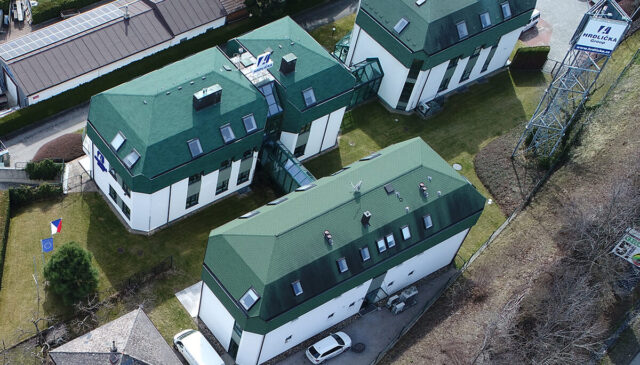
NEW – Technical data on buildings
Clicking on a building plot will also display extended data from the Czech Statistical Office from the latest available Census:
- Address,
- completion date,
- number of apartments,
- built-up and floor area,
- number of floors and entrances,
- heating method,
- connection to water supply, sewerage and gas,
- the presence of an elevator and more.
4. Import of VFK and other formats
The geoportal supports import of data from the exchange format of the cadastre VFK – both descriptive and graphic parts.
- The drawing is loaded as a new temporary layer.
- It can be saved permanently after approval by the administrator.
- Other supported formats are DGN, DWG, DXF, VFZE, KML, SHP.
5. Conclusion
The Geoportal is a comprehensive tool for anyone working with data about the territory. Thanks to the connection to the Land Registry, advanced search, thematic maps and the possibility to import your own data, you get a reliable tool for analysis, planning and decision-making.
Free Geoportal for 30 days
Do you need any advice? We are ready by email and phone.
Lada Bláha

More similar articles
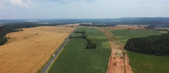
MawisGeoportal as a tool for monitoring construction progress
Applications for the construction of motorway sections or reconstruction of railway lines. It is suitable for linear constructions, development projects and smaller constructions.
Passport on demand - create your own map layer
The Geoportal now offers customized passports - create your own custom map layer just for you.

Introducing the new Expression Support module!
We have enhanced the Comment Support module to allow you to send comments to the applicant directly from the Geoportal application.