A mapping app for your data
MawisGeoportal as a tool for managing spatial data, technical maps, and utility networks.

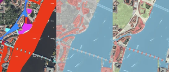
A mapping application for visualizing, publishing, managing, and sharing geodata and related documents.
MawisGeoportal offers tools for visualizing, publishing, managing, and sharing geodata. These tools help users work with spatial information, improve management efficiency, and save time.
1. Geoportal – A mapping application for visualizing, publishing, managing, and sharing geodata and related documents.
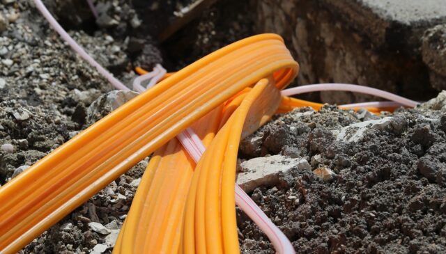
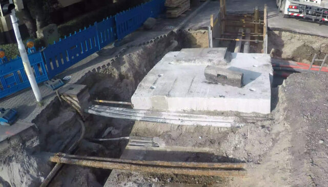
2. DTM Utility Networks for Builders – Information on the location of utility networks, along with other map data, within the Czech Republic.
3. Applicant’s Application Record – Tracking the status of all applications submitted by the applicant, with the option to attach supporting documents to them.
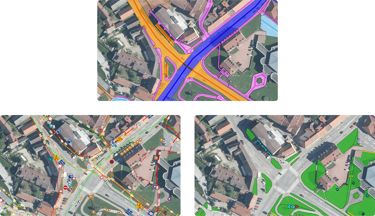
A mapping application for visualizing, publishing, managing, and sharing geodata and related documents.
Information on the location of utility networks, along with other map data, within the Czech Republic.
Track the status of all applications submitted by the applicant, with the option to attach supporting documents.
MawisGeoportal as a tool for managing spatial data, technical maps, and utility networks.
The MawisGeoportal DTM Network provides an overview of utility networks throughout the Czech Republic.
Submitting an application via the MawisUtility app and subsequently tracking its processing status in the MawisGeoportal map application.
Three new thematic map layers from the Cadastral Register (KN) are now available on the Geoportal: easements, land categories, and land use.

A mapping platform that consolidates design, construction, and inspection data throughout linear construction projects.

Get an overview of green spaces and green infrastructure elements. A green space inventory is an important tool for the effective management of public spaces and maintenance planning.
years on the market
users
applications submitted