Data display and editing
MawisGeoportal services
MawisGeoportal services offer tools for visualizing, publishing, managing and sharing geodata. They help to work with spatial information, increase management efficiency and save people’s time.
- Geoportal – Map application for visualizing, publishing, managing and sharing geodata and related documents.
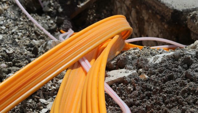
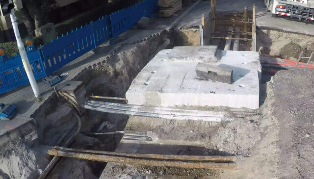
- DTM Networks – Information on utility networks along with other map documents for land valuation across the country.
- Spatial analytical documents – Creation, processing and publication of spatial analytical data for administrators, municipalities and regions.
Geoportal
Map application for visualization, publication, management and sharing of geodata and related documents.
DTM network
Information on utility networks along with other map documents for land valuation throughout the country.
Territorial analytical data
Creation, processing and publication of spatial analysis data for administrators, municipalities and regions.
Videos and articles
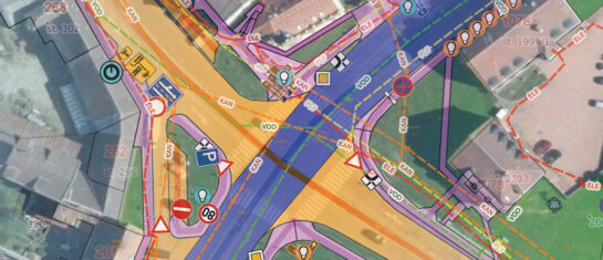
DTM network applications
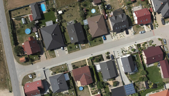
MawisGeoportal
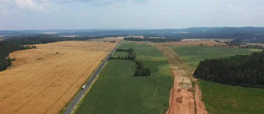
MawisGeoportal as a tool for monitoring construction progress
Applications for the construction of motorway sections or reconstruction of railway lines. It is suitable for linear constructions, development projects and smaller constructions.
MawisGeoportal
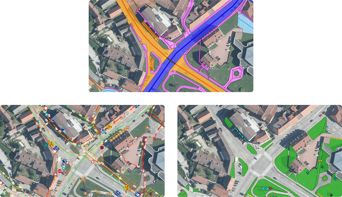
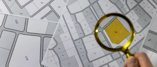
Cadastre and thematic maps in Geoportal
The Real Estate Cadastre module offers not only cadastral maps but also parcel search, connection with registers and import of VFK format.
MawisGeoportal
Passport on demand – create your own map layer
The Geoportal now offers customized passports – create your own custom map layer just for you.
And why from us?
15
years on the market
5 000
users
2 250 000
applications submitted