
MAWIS Products
Filter products by customer:
Support for expressing opinions on social media

Viewing and editing data
Professional engineering tools
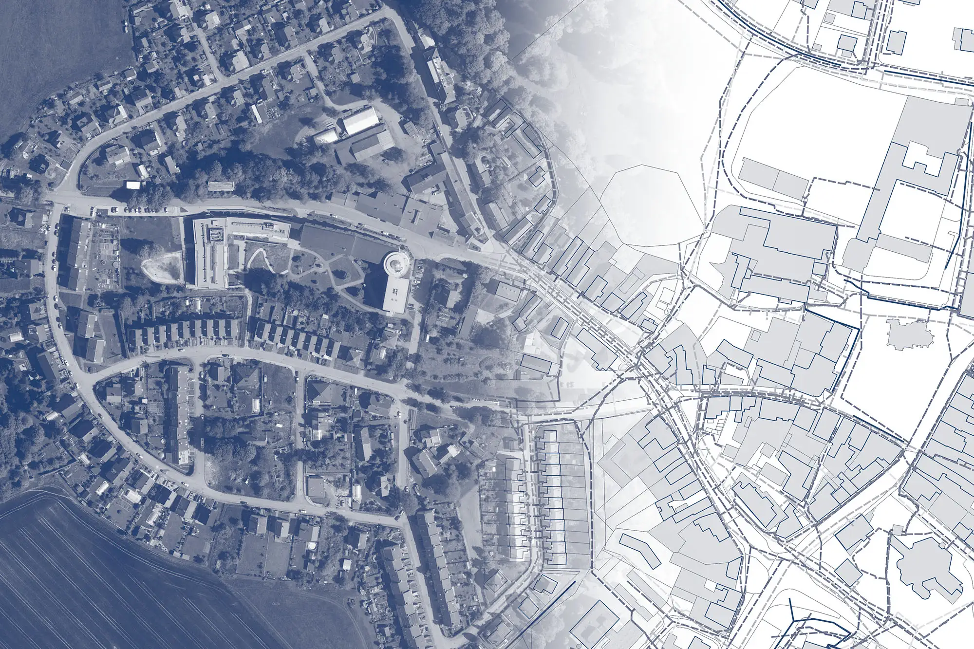
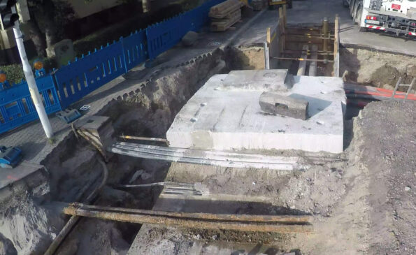
Digital Services for Construction
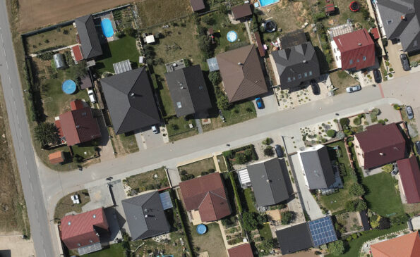
Property Settlement


Asset Inventory
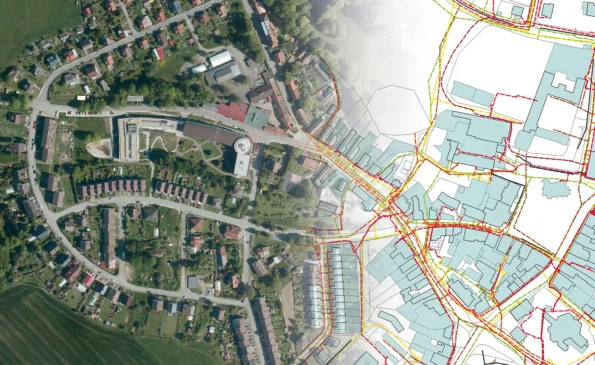
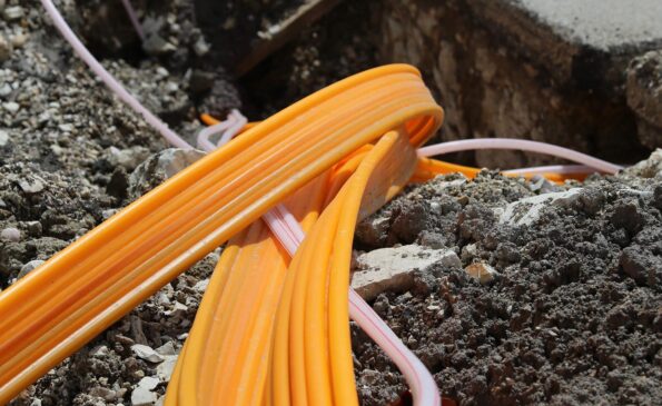
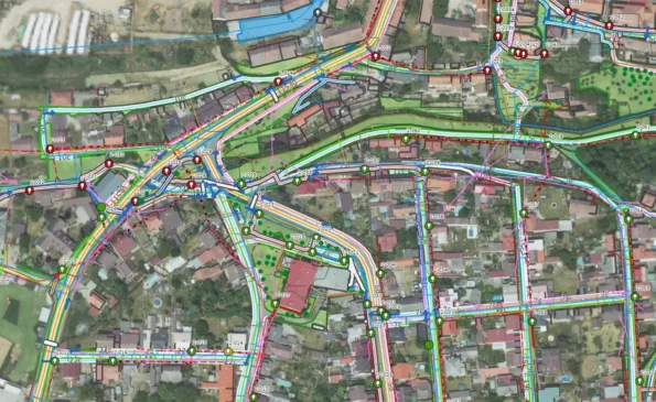
Utility Network Data

Other services
RSTI
The Register of Technical Infrastructure Entities (RSTI) is a database that provides basic information on the territorial jurisdiction of entities related to technical infrastructure (owners, operators, administrators, or entities that provide input on technical infrastructure).
BIM3D
Preparation of surveying data for construction projects, creation of construction documentation and building records. Construction monitoring, surveying, and volume calculations. Geodetically accurate 3D models for BIM and property management, 3D visualizations, and presentations.
STAVEE
Construction Log – online, simple, fast, secure. Easily create construction records using a web app accessible on all devices. Ensure secure storage of records, photos, and documents from the construction site.


