Make mapping easier with the Measurements and Notes Module
Discover the Measurements and Notes module to measure accurately, manage your own notes and share data with others.
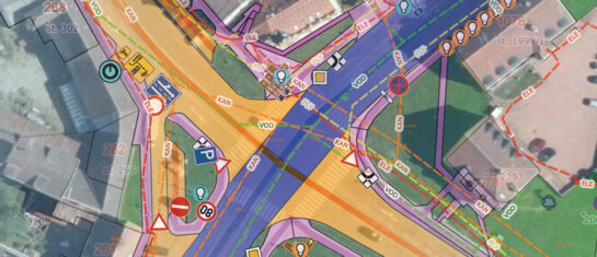
When working with digital maps, you’ll appreciate tools that help you measure distances, plot areas and keep notes directly on the map. The Measurements and Notes module in the Mawis Geoportal offers just such an option.
Why should you use the module?
- Easy measurement – Find out coordinates, distances and areas directly on the map.
- Custom drawing – Mark important places, draw lines or mark areas.
- Export data – Save records to a spreadsheet or SHP file and share with colleagues.
- Collaboration – Share information and notes with other project users.
How does the module work?
The module can be found in the main bar of the application under the pencil and ruler icon. Once you open it, you can start measuring and plotting.

Available tools:
- Point – Marking of important places.
- Lines – Measurement of distances between points.
- Polygon – Calculating the area or perimeter of an area.
- Notes – Option to add your own comments to places on the map.

Data storage and management
All the elements you create in the module can be saved in the following ways:
- Temporarily – Elements will disappear when the application is closed.
- For users – The data will be saved the next time you log in.
- For all – Shared data visible to all users of the project.
Tabular display
The module also offers a tabular overview of plotted features with the possibility of searching, filtering and editing.The results can be exported to tables or SHP files.
Sharing and collaboration
Share your measurements and notes with other project users using the link. The module supports comments and annotations on individual features, making it easier to collaborate on data and maps.
Free Geoportal for 30 days
Do you need any advice? We are ready by email and phone.
Ladislav Bláha

More similar articles
MawisGeoportal as a tool for monitoring construction progress
Applications for the construction of motorway sections or reconstruction of railway lines. It is suitable for linear constructions, development projects and smaller constructions.
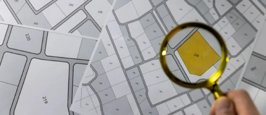
Cadastre and thematic maps in Geoportal
The Real Estate Cadastre module offers not only cadastral maps but also parcel search, connection with registers and import of VFK format.
Passport on demand - create your own map layer
The Geoportal now offers customized passports - create your own custom map layer just for you.