MawisGeoportal - winter news 2025
Presentation of the 2025 winter news in the MawisGeoportal app. We are constantly improving it for you.
Dear MawisGeoportal users, we would like to inform you about the most important winter news in our Geoportal mapping application.
Key news:
1. Speech Support Module
- Recording of comments – the possibility of recording documents commenting on applications has been added
- Direct sending of statements – the tool can now send statements directly to the applicant, including documents
- Filtering requests – easily view only the requests you are interested in based on their current status
2. Geoportal user layer – Records on demand!
Do you need to keep track of specific properties, monitor leases, manage planning projects or keep track of planned investments? Our administrators will prepare a customized passport for you!
What can a customised passport mean in practice?
- List of objects with geometry and attributes. We can easily implement them
- Records of commercial stands or other features in the area used for regular public events
- Managing property or space leases
- Investment plans – coordinate and register small constructions, set deadlines and monitor progress
- Graphical comparison of plans and reality
We can help you design the optimal management and record-keeping solution – exactly to your needs.
3. Notifications for important dates
The Geoportal now allows you to set up automatic expiration notifications for any data in the tables.
- Notifications arrive to the selected email
- The administrator can set multiple notifications (e.g. 5 or 30 days in advance)
- Ideal for tracking revision dates and other key events
4. Search and table enhancements
- Support for displaying large text values in tables without displaying individual rows
- More accurate and faster search and filtering by data over all records
5. DTM network applications
We have created a fee-based DTM network application that displays digital technical map data of the regions and offers:
- Access to digital technical maps of regions throughout the Czech Republic
- Detailed parameters on technical and transport infrastructure
- Other useful layers: cadastral maps, floodplains, land suitability, protected areas, etc.
Free Geoportal for 30 days

More similar articles
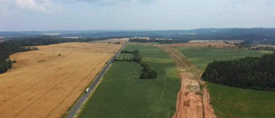
MawisGeoportal as a tool for monitoring construction progress
Applications for the construction of motorway sections or reconstruction of railway lines. It is suitable for linear constructions, development projects and smaller constructions.
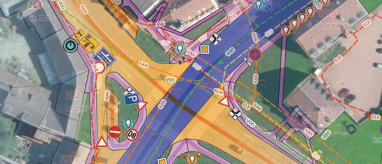
Cadastre and thematic maps in Geoportal
The Real Estate Cadastre module offers not only cadastral maps but also parcel search, connection with registers and import of VFK format.
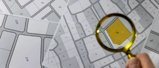
Passport on demand - create your own map layer
The Geoportal now offers customized passports - create your own custom map layer just for you.