aktuality_do_mailuarrow-backarrow-bottomauthorbasketbezbarierove_mestoblockquotebtn-arrow-backbtn-arrowcalendarcheckcheckedclosedigitalni_evidencedopravni_znaceniemailfacebookfaqfb-circlefooter-imghousehrbitovinfointuitivni_ovladanikatastralni_datalarge-arrow-bottomlinklinkedin-sidebarlinkedinlist-arrowlockloginmapamistni_komunikacemobiliar_obcemobilni_aplikacemodul_DTMmunicipalitynastaveni_roli_a_spolupracenavrhy_na_vkladnewsletterochrana_obyvatelodeslaniphonepozemkove_upravypresnostprojektantiregcountsearchservice1service2service3service4silne_zabezpeceni_a_dostupnostsmlouvy_na_klikspoluprace_nad_dokumentacispravcistavebnicisubjektysupporttechnicka_infrastrukturatriangle-bottomtrideny_odpadtwitterutilityuzemni_planverejne_osvetleniwebova_aplikaceworkerxingyoutubezadatelzelenzivotni_cyklus_stavbyzivotni_situacezrychleni_vystavby
Login 0 Cart

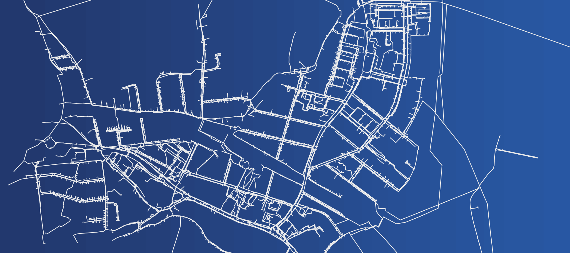
Digital technical map of the Czech Republic Finding and locating networks

We will locate the missing parts of your networks so that your network documentation is complete and up-to-date.

Geodetic surveying of technical infrastructure.‍

Hrdlička has many years of experience in locating and surveying all types of networks.

We will provide you with surveying and locating or investigating previously undocumented or incorrectly documented technical infrastructure.

The output is a surveyed network route in accuracy class 3.

What else we can help with

I can help you with MAWIS services

Ladislav Bláha

expert consultant for MAWIS portal services

MAWIS TEST – Kontaktní formulář

This field is for validation purposes and should be left unchanged.