Passport on demand - create your own map layer
The Geoportal now offers customized passports - create your own custom map layer just for you.
Geoportal is no longer just about passive map display. Thanks to the new “passport on demand” functionality, it becomes an active assistant in the daily agenda of your municipality, city or organization. Do you need to register objects, track leases, manage planning projects or keep track of planned investments? Our administrators will prepare a tailor-made map layer for you.
What is an on-demand passport?
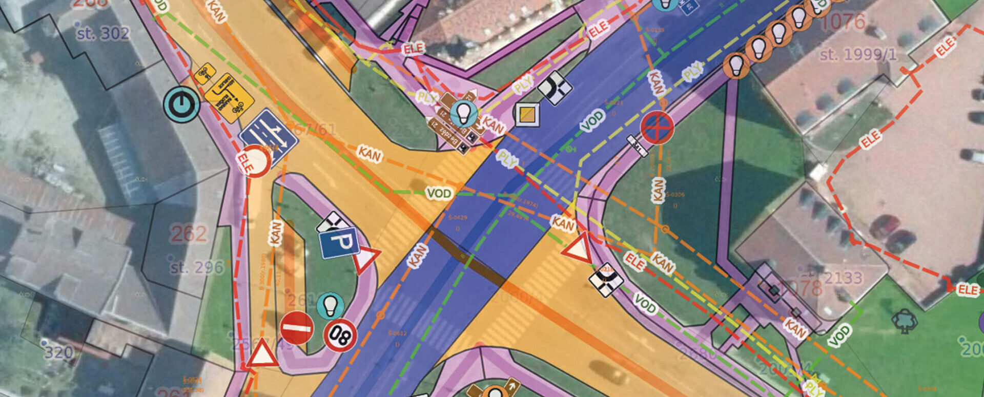
The core of the Geoportal always includes standard functions such as measurements, cadastre or task book. However, on top of this foundation, you can grow your own user layer that fits your specific needs. Whether you are registering assets, organising cultural events or planning investments – a customised passport allows you to have everything clearly and in one place.
What can a customised passport mean in practice?
- Do you have a list of objects with geometry and attributes? → We simply digitize them and display them in the Geoportal.
- Records of trade stands or other temporary features in the area – e.g. for regular public events, markets or festivals.
- Managing leases – for example, of city land, parking spaces or real estate.
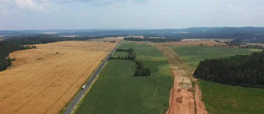
- Investment plans – clear planning of small constructions and projects, including deadlines and monitoring of the implementation process.
- Comparison of plans and reality – a graphical display to help you see what actually happened compared to your original intentions.
Specific examples from municipalities
The municipality of Tetín is one of the active users of this functionality and has created several layers of its own:
- Investment plans – an overview of projects such as road repairs or the construction of a playground. Each entry is linked to the construction log and documentation.
- Uncooperative Owners Layer – facilitates action planning by highlighting land that is more difficult to work with.
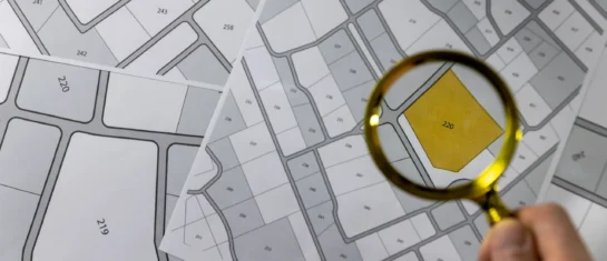
- Layer of known owners – helps to quickly identify whether the land is under the management of the Vltava River Basin, the Railway Administration, the Forests of the Czech Republic, etc.
- Records of rented stalls – for regular markets on the square.
- Coordination of public events – overview of the shooting areas, space division, planning of movement of people and equipment.
Worry-free technical solution
You don’t have to be an IT expert. Just have an Excel spreadsheet with basic data – our administrators will prepare a layer from it in the Geoportal. The layer can be:
- point, line or polygon – depending on the type of recorded elements,
- editable – you can add new records, edit them or delete them,
- linked to documents – such as construction diaries, contracts or plans.
The basic records are often created outside the map – for example in Excel. But thanks to the Geoportal, it gains a spatial dimension, the possibility of visualization and intuitive control.
Why create your own passport?
- Clarity – everything important in one place and linked to the map.
- Flexibility – layers adapt to your way of working, not the other way around.
- Easy maintenance – add, edit and delete without programming.
- Better coordination – for example, at public events or investments.
- Modern technology – Geoportal works on top of the database, not as a static tool.

More similar articles
MawisGeoportal as a tool for monitoring construction progress
Applications for the construction of motorway sections or reconstruction of railway lines. It is suitable for linear constructions, development projects and smaller constructions.
Cadastre and thematic maps in Geoportal
The Real Estate Cadastre module offers not only cadastral maps but also parcel search, connection with registers and import of VFK format.

Introducing the new Expression Support module!
We have enhanced the Comment Support module to allow you to send comments to the applicant directly from the Geoportal application.