
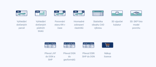
Search for affected parcels and their owners
MawisTools tools automate and streamline the process of locating relevant parcels, including ownership information.
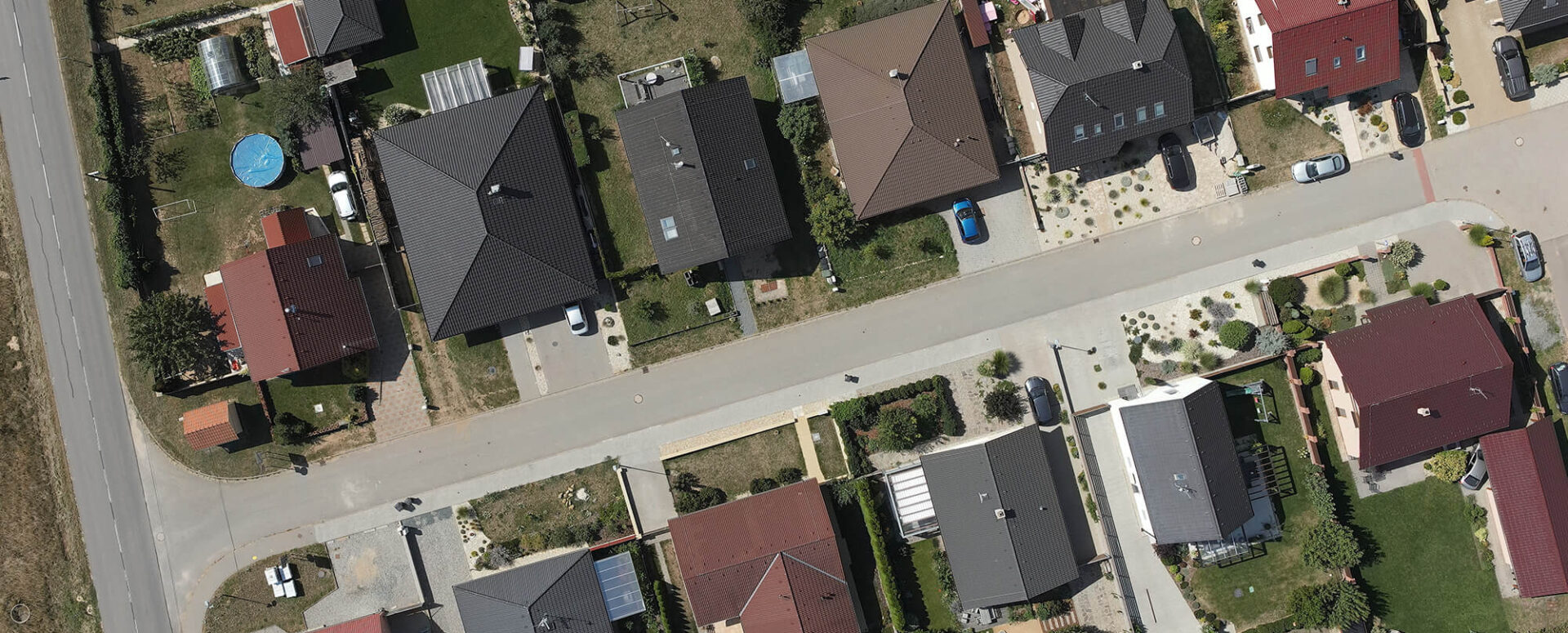
In the areas of utility network design, property rights settlement, and real estate management, it is essential to have access to up-to-date land registry data. Rather than spending a great deal of time searching for information on individual parcels, it is much more efficient to obtain this data in bulk for the entire area of interest.
That is why the MawisTools toolkit was created, which makes it easier for users to obtain basic information about parcels and their owners. The individual tools link digital maps with land registry data and, through data analysis, provide a range of other useful information, such as details about neighboring parcels, the existence of easements, and comparisons of data over time.
1. Searching for Affected Parcels: In Bulk for Your Drawings
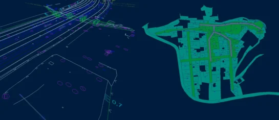
The "Search for Affected Parcels" tool allows you to search for information on multiple parcels based on an imported drawing in DGN, DWG, or SHP format. This drawing is overlaid onto the cadastral map, and the tool automatically identifies the affected parcels. The result is not only a list of affected parcels, including their neighbors, but also DGN drawings with their geometries, which facilitates further work with the data.
A major benefit for users is the integration with the "Land Registry Search" online service, which provides detailed information about specific properties, including ownership details.
2. Bulk Display of Owners: The Key to Property Settlement
One of the most common needs of designers and investors is to quickly determine the ownership status of a large number of parcels. Ordinary users are not granted bulk access to this information due to data protection regulations, but MawisTools makes this functionality available through a web-based remote access service (WSDP).
The "Bulk View of Owners" tool adds the current owners from the real estate cadastre to the existing list of parcels. This data is provided in an Excel spreadsheet, which allows for easy further analysis and processing.
This feature is particularly useful for:
- Property settlement in the planning of land acquisitions for various construction projects.
- Analysis of ownership structures for various real estate development and investment projects.
3. Comparing Cadastral Records Over Time: Track Changes in the Data
Property management and infrastructure project design often require not only up-to-date information but also historical comparisons. MawisTools therefore offers a feature for comparing land registry data over time, which allows users to identify changes in the geometry and area of parcels over time.
This feature is particularly useful for:
- Verification of the validity of parcels, including their current area and boundaries.
- Monitoring changes in the land registry that may affect ownership or investments.
- Preparing and updating project documentation for construction and infrastructure projects.
The output consists of clear reports and DGN drawings that clearly show all changes, which facilitates decision-making and data management.
Conclusion: MawisTools – a powerful tool for working with cadastral data
MawisTools are a useful solution for designers, surveyors, developers, and property managers. They automate and streamline the process of locating relevant parcels, including ownership information, and analyze changes to land registry parcels over time.
Users can plan, make decisions, and work with up-to-date cadastral data more effectively.
MawisTools: 30-day free trial
Do you need advice on something? We're here to help via email or phone.
Ladislav Bláha

More similar articles
The Most Popular MawisTools Tools in 2026
Searching for affected parcels and converting JVF to DGN are the most frequently used MawisTools tools in 2026.

New conversion tools in MawisTools – JVF, DTM, DGN, SHP, DXF, and KML
The MawisTools library offers additional useful conversion tools for working with geodata and drawings.
MawisTools – An advanced library of tools for surveyors, designers, and geoinformatics professionals
From searching for specific parcels to calculating volumes and converting data formats. Fast, online, and no installation required.


