MawisTools - Advanced tool library for surveyors, planners and geoinformaticians
From the search of the parcels concerned to the calculation of cubatures or the conversion of data formats. Fast, online and without installation.
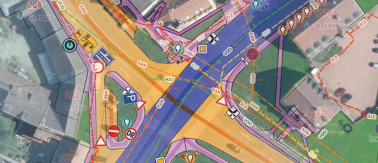
Digitization of technical documentation, work with spatial data and effective communication between designers, surveyors and authorities play a crucial role in the preparation and implementation of construction projects. MawisTools, an online service that offers a set of specialized tools for processing data from land registry, CAD drawings, GIS layers and public data sources, has been developed for this purpose.
When do you need MawisTools?
MawisTools is mainly used for:
- surveying offices and design teams
- designers of transport and technical infrastructure
- municipalities and cities that work with their property records
- public administration bodies in the field of digitisation of processes
- and other professions with a need for accurate geodata
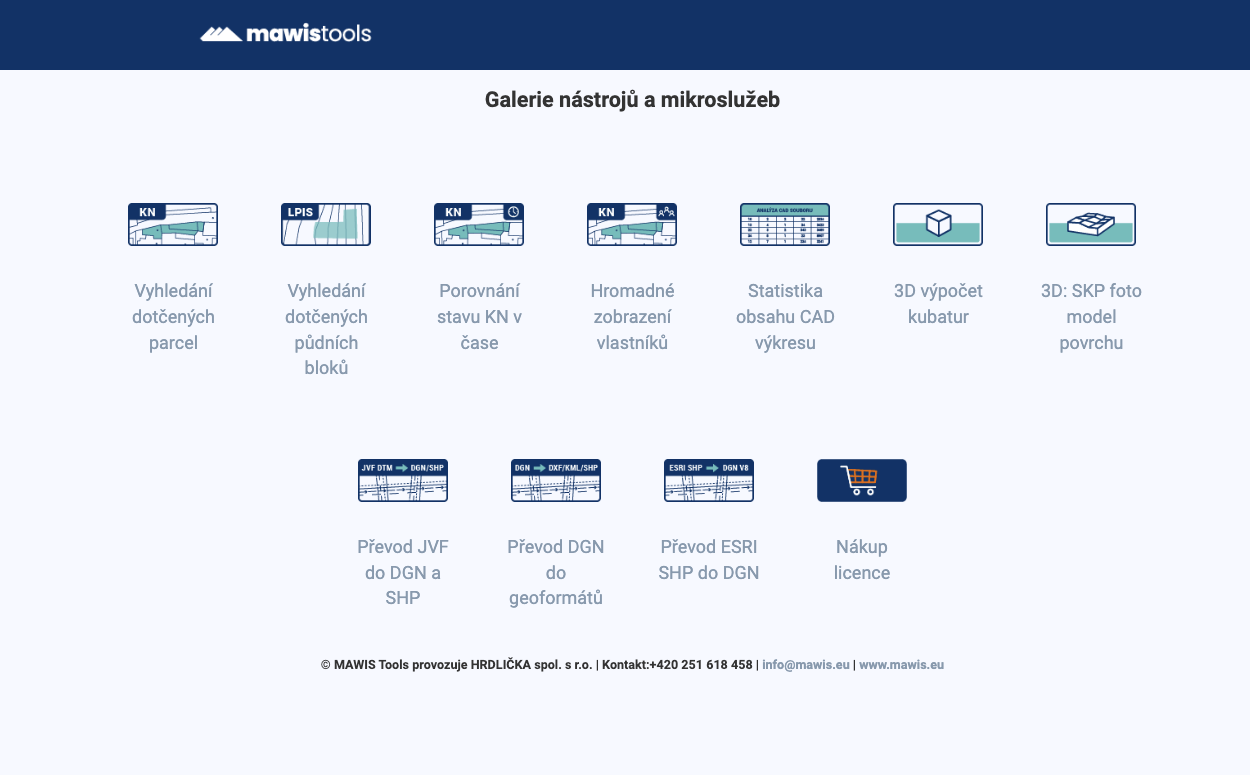
MawisTools main tools
1. Tools for working with cadastral data
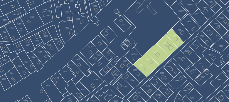
- Finding affected parcels: projection of DGN/DWG drawings to the land registry, automatic search for affected parcels, buildings or units. The output is a list of parcels with links to the CN consultation application
- Finding the affected land blocks: identification of parcels according to RÚIAN and assignment of land blocks from the LPIS register. The result is a list of parcels including information on their agricultural use
- Bulk display of owners: adding the current owners from the land register to the output table of the affected parcels or land blocks
- Comparison of the state of the CN over time: checking changes in the areas or geometry in the cadastre, output are updated DGN drawings and an overview of changes
📄 More in the article: Searching for affected plots with owners.
2. Spatial data calculations and analyses
- 3D cubature calculation: comparison of two surfaces (existing vs. designed terrain) and automatic calculation of excavation and embankment volumes
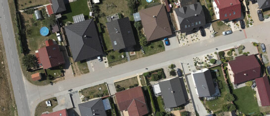
- Surface photomodel: creation of 3D photomodel from DMR 5G and Ortofoto CR, export to SketchUp compatible format
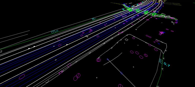
- CAD drawing content statistics: generate Excel reports of used objects and statistics from DGN/DWG drawings
3. Data format conversion (new)
- Conversion of JVF DTM to DGN/SHP: generate a drawing in DGN or SHP format from JVF DTM data (digital technical map)
- SHP to DGN conversion: easy data conversion from ESRI SHP to DGN V8 drawing format
- Convert DGN to DXF/KML/SHP: Create DXF-GNSS, SHP or KML files from a DGN drawing
📄 More in the article: Conversion of JVF/DTM to DGN and SHP – new MawisTools tool.
Conclusion
MawisTools is a practical tool in the digital environment of surveying and design offices. It allows you to save time, increase the accuracy of output and streamline collaboration across the professional professions. The library of tools is continuously expanded and responds to the current needs of the practice.
🔗 More information: www.mawis.eu/sluzby/analyza-dat-a-vykresu.
MawisTools for 30 days free
Do you need any advice? We are ready by email and phone.
Ladislav Bláha +420 724 863 431 | ladislav.blaha@hrdlicka.cz

More articles like this

Conversion of JVF DTM to DGN and SHP - new MawisTools tool
The converter allows you to create a drawing in DGN/SHP formats from JVF DTM data that you can view in your favorite application.
Searching for the affected plots with the owners
MawisTools tools automate and accelerate the processes of locating affected parcels, including ownership relationships.
Municipal asset passporting - modern management using Mawis
The MawisPasport service will help municipalities to unify and digitise their records, making them available to all who need them.