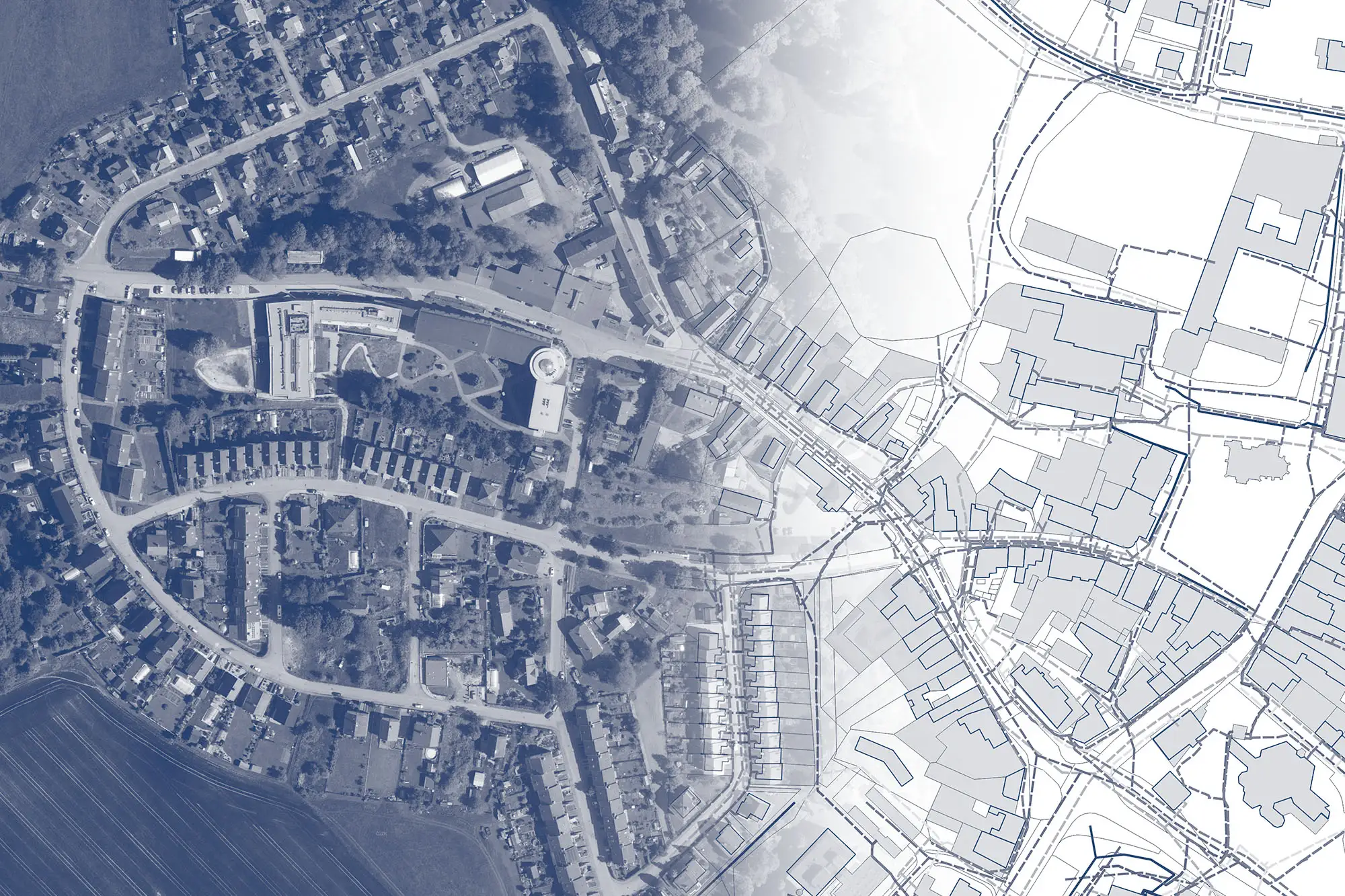
Quick, clear, and accurate statement on the existence of networks. Required for building permits.
A map application for visualizing, publishing, managing, and sharing geodata and related documents.
Advanced analytical tools for working with geodata. Designed for surveyors and geoinformatics specialists.
Accurate and fast documentation of buildings in 3D using a mobile phone.
Contracts, documents, and proposals for entry into the land registry at the snap of your fingers.
We will help you with DTM. Together, we can handle the creation and maintenance of engineering network data!
